
Jeska Hearne- Lobster & Swan/Westsweden.com
11. Fiskebäckskil-Grundsund
- Length
- 6 km
- Degree of difficulty
- Blue
- Estimated time
- 2h
The hike between Fiskebäckskil and Grundsund is a detour from the other part of the continuous Kuststigen-trail between Uddevalla and Sotenäs. It goes on part of Skaftölandet in Lysekils Municipality.
The section starts at the swimming resort in Fiskebäckskil, near the hotel Gullmarsstrand. The trail then continues on fine gravel roads, via the golf course and up to the small community Stockevik.
From Stockevik the trail goes on a dirt road through a fine mixed forest. The last part goes through residential areas towards the old fishing community Grundsund.
Distance: 6 km
Time: 2 hours
How to get here: In Fiskebäckskil there is a bus stop Fiskebäckskil. In Grundsund there is a bus stop Grundsund.
Surface: Gravel road, Asphalt
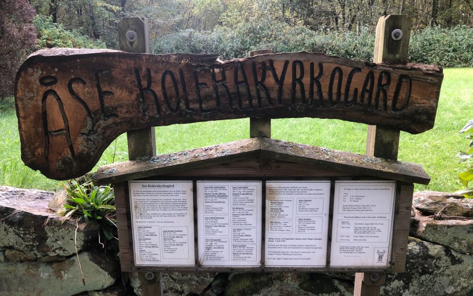
Don't miss: A stop at the old cholera cemetery
6 km
Degree of difficulty
About Difficulty Grading
The grading is tailored for Swedish lowland trails that adhere to the quality criteria established by the national framework for hiking trails.
Even and firm ground: The terrain is generally flat. The hike requires no need to use your hands for support. No obstacles. Bridges are always present when crossing waterways.
Uneven and/or soft ground: Some changes in elevation. Certain sections may require hand support to maintain balance. There may be obstacles such as low stiles and short stairs. Minor obstacles like stones and roots. Boardwalks are present.
Loose or slippery ground combined with steep sections: Technical parts require hand support. There may be obstacles such as high stiles and longer stairs. Frequent sections with stones and/or roots. Boardwalks with deeper surrounding water.
Note: One or more of these features may be present along the trail section.
Blue
2h
- Tätortsnära
- Skog
- Hav
- Vandringsled
- Kuststigen
- Tätortsnära
- Hav
- Skog
- Vandringsled
- Kuststigen
- Tätortsnära
- Hav
- Skog
- Vandringsled
- Kuststigen
- Tätortsnära
- Hav
- Skog
- Vandringsled
- Kuststigen
- Tätortsnära
- Hav
- Skog
- Vandringsled
- Kuststigen
- Tätortsnära
- Hav
- Skog
- Vandringsled
- Kuststigen
- Tätortsnära
- Hav
- Skog
- Vandringsled
- Kuststigen
- Tätortsnära
- Hav
- Skog
- Vandringsled
- Kuststigen
- Tätortsnära
- Hav
- Skog
- Vandringsled
- Kuststigen
- Tätortsnära
- Hav
- Skog
- Vandringsled
- Kuststigen
- Tätortsnära
- Hav
- Skog
- Vandringsled
- Kuststigen
- Tätortsnära
- Hav
- Skog
- Vandringsled
- Kuststigen
- Tätortsnära
- Hav
- Skog
- Vandringsled
- Kuststigen
- Tätortsnära
- Hav
- Skog
- Vandringsled
- Kuststigen
- Tätortsnära
- Hav
- Skog
- Vandringsled
- Kuststigen
- Tätortsnära
- Hav
- Skog
- Vandringsled
- Kuststigen
- Tätortsnära
- Hav
- Skog
- Vandringsled
- Kuststigen

Highlights along the section
Here are some places that are frequently visited and appreciated by others.